What Affects Rates in Evansville
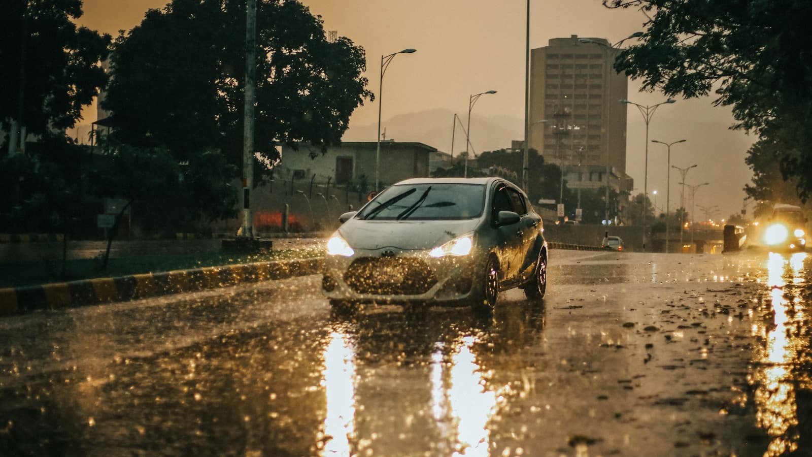
- Ohio River Flood Risk: Evansville's location on the Ohio River increases comprehensive claims from flooding, particularly in low-lying areas near the riverfront. High-risk drivers already facing elevated premiums see comprehensive coverage costs rise 10–20% compared to inland Indiana cities due to this weather exposure.
- Lloyd Expressway Accident Corridor: The Lloyd Expressway (US 60) through central Evansville has elevated accident rates during peak commute hours, contributing to higher liability costs. Drivers with at-fault accidents on their record face steeper rate increases in zip codes along this corridor (47715, 47714) compared to east-side neighborhoods.
- Vanderburgh County Uninsured Driver Rate: Vanderburgh County's uninsured motorist rate runs 2–3 percentage points above the Indiana state average of 14%, increasing the importance of uninsured/underinsured motorist coverage for high-risk drivers who may already lack collision coverage due to cost.
- Evansville BMV SR-22 Processing: The Indiana BMV branch at 1 SE MLK Jr Blvd processes SR-22 filings for Vanderburgh County; insurers must submit electronically, with reinstatement typically processed within 24–48 hours once the SR-22 is received. Lapses trigger immediate suspension and restart the 3-year clock.
- West Side Traffic Density: Evansville's west side (47712, 47710) shows higher claim frequency due to commercial traffic and pedestrian activity near Washington Avenue and Franklin Street. High-risk drivers in these zip codes may pay 5–10% more than those in lower-density east-side areas like Newburgh.
Find out exactly how long SR-22 is required in your state
Coverage Recommendations
Cost estimates are based on available industry data and vary by driver profile. These are not insurance quotes.
SR-22 Insurance
Indiana SR-22 is a certificate of financial responsibility filed by your insurer with the BMV, required for 3 years following DUI, reckless driving, multiple violations, or driving without insurance. The filing itself costs $25–$50, but underlying liability coverage for high-risk drivers in Evansville runs $800–$1,800/year for minimum limits.
$25–$50 filing + elevated premiumsEstimated range only. Not a quote.
Liability Insurance
Indiana requires 25/50/25 minimums, but high-risk drivers in Evansville should consider 50/100/50 or higher due to the county's uninsured driver rate and accident frequency on routes like Lloyd Expressway. Minimum coverage for DUI drivers runs $800–$1,500/year; 50/100/50 adds $200–$400 annually.
$800–$1,900/year (50/100/50)Estimated range only. Not a quote.
Uninsured Motorist Coverage
With Vanderburgh County's uninsured rate above 14%, this coverage protects high-risk drivers who may skip collision due to cost. Stacks with underinsured motorist coverage and typically adds $150–$300/year to a high-risk policy in Evansville, offering bodily injury protection if hit by an uninsured driver.
$150–$300/year additionalEstimated range only. Not a quote.
Non-Standard Auto Insurance
Evansville high-risk drivers turned down by standard carriers can access non-standard policies through regional carriers serving Indiana. Expect rates 50–100% higher than standard but with more flexible underwriting for multiple DUIs, lapses over 90 days, or suspended licenses being reinstated.
$2,400–$4,800/year full coverageEstimated range only. Not a quote.